Sunday 23 March 2014

Carneddau Conditions

Visibility has been so good that we can see both the Glyderau and the Carneddau in full from Bethesda. Here's a few gratuitous mountain shots. Enjoy!


Pen Yr Ole Wen, Carneddau Daffydd & Llewellyn from Glan Dena

Today, I took a group of 5 Clwyd Mountaineering Club colleagues and personal friends on a grand tour of the Carneddau. The forecast was for 30-35mph winds, increasing to 45-50mph, with snow and heavy snow.

I had been keeping an eye on conditions in the mountains all week. At the beginning of the week, there had been very little snow, but by Friday evening there was a light dusting on the tops. Given how the low level precipitation had consisted of brief showers, sometimes of hail, I presumed that there would only be powdery snow around, with possibly some hailstones. There was also likely to be rime ice on the tops, given the recent high humidity levels.

The route took us from Glan Dena (SH668605) along the side of Llyn Ogwen; up Pen Yr Ole Wen from Ogwen Cottage; over Dafydd and Llewellyn; over Craig yr Ysfa; then back to the start along the access road, over to the Roman road and down the valley.

The weather was clear until we started the Pen Yr Ole Wen ascent, and occasional light snow flurries silently swirled around us. As we went higher, the clouds descended and the winds increased. The snow was, as expected, powdery and sticky, a bit like the first falls of snow that make small children excited and then melt the next day. It made solid boot prints and easy walking. Group management was key at this point because the group's steep ground climbing fitness varied from mountain runner and cyclist via alpine walker to flat terrain legs. Thankfully, everyone helped out and we kept together reasonably well, or at the least in two small groups without too much separation.

As 'Leader', it was left to me navigate over the tops, where visibility was poor (around 100m). At one point I truly felt like the leader, when the group gathered around me as I explained how I was going to get us from the summit of Pen Yr Ole Wen to that of Dafydd. I explained how our pace of approx 4km per hour would take us 12 minutes to cover 800m, then add 1 minute for every 10m of the 110m ascent. This gave us an ETA of 23 minutes. At the same time, I paced it. The timing was 1 minute short; my pacing (due to icy patches and some deep snow drifts) was on the short side, needing another 200m! Good experience for me, and it felt good sharing the knowledge.

After Dafydd, the clouds cleared occasionally to give us excellent views down Cwn Llafar to the north, and even as far as the Denighshire Moors and Clwydian Range in the east.

As we crossed the Bwlch Cwyfrw-Drum, the winds really started to gust. Fortunately, it wasn't so strong as to make walking impossible, but you just had to be ready to transition from the no-wind to strong-wind (leaning left) moments! We picked up the north-south wall near the top of Llewellyn with the intention of sheltering a bit: it might have helped, but the wind was so fierce that we decided to avoid the summit proper, then descend east toward Craig yr Ysgfa. At one point (SH686643) the snow had been scoured and completely covered the path in ice, for about 10m. There had obviously been only one walker over this stretch when it was snow because vague boot prints were still carved in the ice. An ice axe might have been of use here, to cut the steps more positively; but in the end we managed to cross it without incident. The consequences of a slip were minor, the slope reasonably short and flattening out into powder and scree just below.

Thereafter, the walk itself was fairly inconsequential, apart from the really vicious but brief spindrift squalls that seemed to pick up on the west side of Ysfa. Given the late hour, we decided to avoid Pen Yr Helgi Du (boo) and continue down the access road to the A5, cross to the Roman Road at Gwern Gof Isaf Farm, then head directly back to Glan Dena. As approached, we could see squalls of precipitation heading up the valley from Y Garn. Then the lightning and thunder struck. No problem, we were relatively safe in the valley. But the consequent hail was unrelenting for the final 1km: 5mm balls of ice pounding thin waterproof layers like being flicked by an annoying bully hundreds of times per minute.

But we we're back!


A brief pause at the pillbox on the north shore of Llyn Ogwen
Al  inside the pill box

Glyderau and Ogwen Cottage

Secret bridge under the A5!
The snow showers arrive.
Snowy near the top of Pen Yr Ole Wen
Icy cornices along Ysgolion Duon
Cwm Llafar and Yr Elen (in the sunlight) from the top of Ysgolion Duon
Crossing the Bwlch, wind blowing right to left (notice the leaning!)
Ascending Llewellyn from the Bwlch
The well-worn path down from Craig yr Ysfa
The hailstorm arriving up Cwm Ogwen from Y Garn past Tryfan


(Photos also on Flickr)


Friday 21 March 2014

Carneddau Conditions 21 March 2014

Just a quick update: for anyone walking the Carneddau this weekend, there's a little bit of white stuff on the tops. I don't expect it to be very icy, more likely to be hail stones and drifting powder. The winds are easing, though, so walking will be slightly less difficult.

More of the same expected tomorrow. Have fun,  and be safe out there!

Sunday 9 March 2014

Pen Y Pass to Llanberis via Glyder Fawr

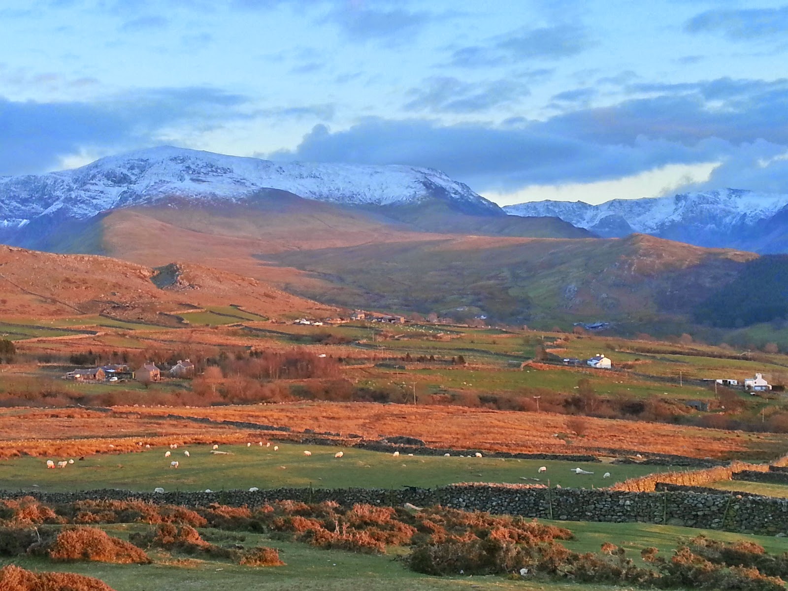
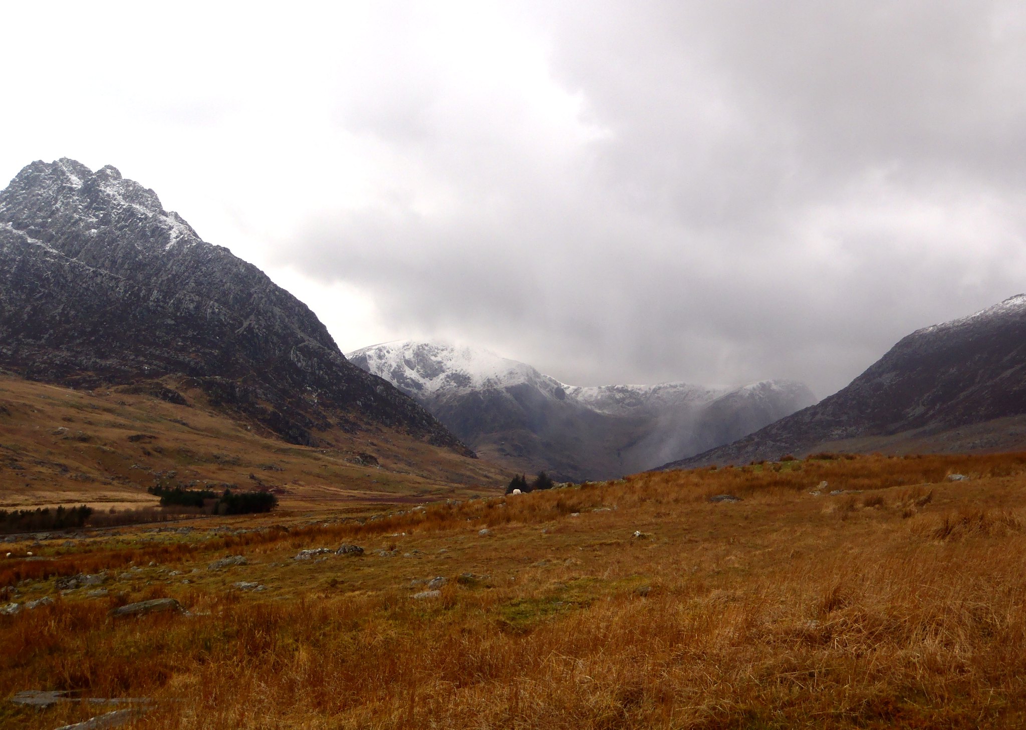
If there was ever a sign that winter was over, then frogspawn is it. At Llyn y Cwn, we passed once or twice foot-wide heaps of tadpoles encased in jelly. But what about the rest of the mountains?

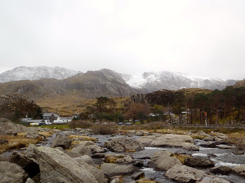
Today's route (Saturday, 8th March, 2014) took us from the Pen-y-Pass Youth Hostel, over Glyder Fawr, then down to follow the ridge north over Y Garn, Foel Goch and Elider Fawr, finishing down through the Dinorwig Slate Quarries. I was accompanied by long-time friend and local Llanberis resident, Dave. We hopped on the Sherpa bus outside Joe Brown's in Llanberis at 0920, which took us up to Pen-y-Pass for 0930.

The surface pressure charts suggested that the winds would be around 40-60mph on the summits, coming from the south. We'd walked in conditions like this before, but it was expected to become less fierce as the day continued. And the forecast wasn't far off.

Avoiding the building works around the hostel, we approached LlynCwnfynnon without descending into the bogs, and were very sheltered as we walked up past Llyn Cwnfynnon and Bwlch Dwyglydion. It was foggy all the way, with the clouds only briefly lifting once for a few seconds to show me that my navigation was working!

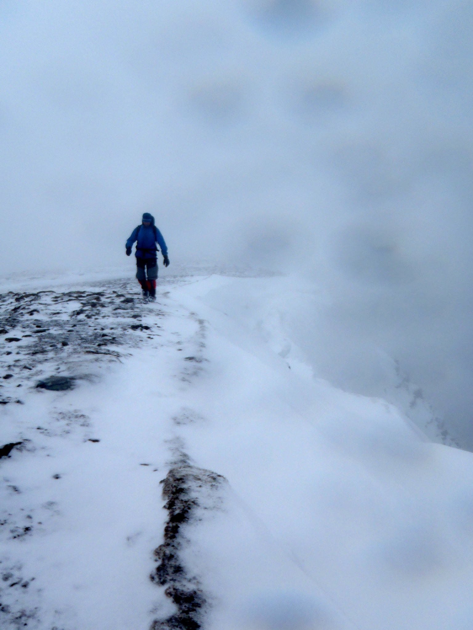
Cloud clearing for seconds in Bwlch Dwyglydion


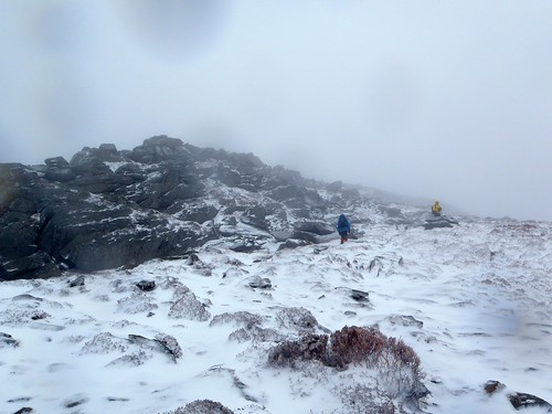
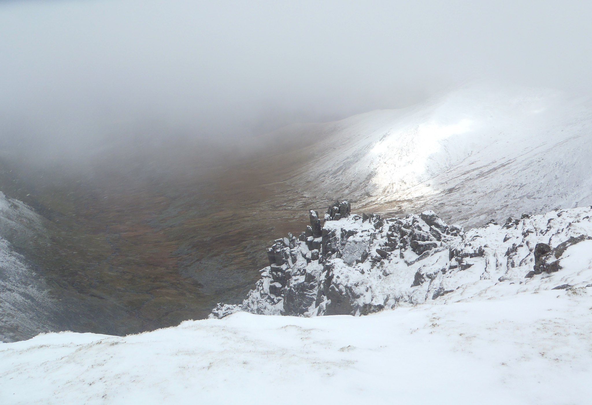
As we approached the top of the Bwlch, small sheltered areas remained covered in snow, but most of the ground was clear. We reached the top of the Bwlch and the winds continued to increase in strength. Turning west, walking toward the summit of Glyder Fawr became increasingly difficult. I opted to stay south of the main path, off the main ridge, but even so, the winds continued to increase.

Using pacing, I managed to hit the multiple rock towers of Glyder Fawr almost directly. We inched our way toward one of the crags from our downhill/upwind position, then hid behind it in the lea, refuelling while the wind whistled the clouds past at astonishing speed. If felt as though we were in an industrial tumbledryer!

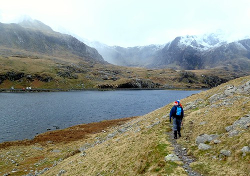
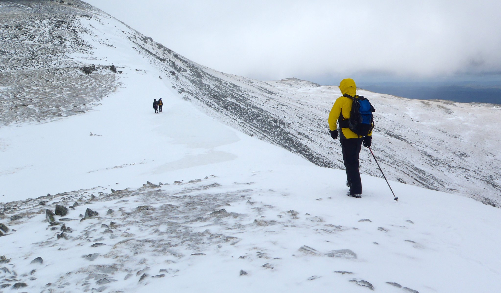
Now that we were out of the wind, we were able to progress. I located the descent path easily (for once). Following the cairns, we headed down the scree slope path, it became covered in snow. We assessed it and found it to be made of icy crystals, but largely soft enough to dig heels into. Dave rushed down over it (being an experienced fell runner), while I carefully made my way across. At about this time the clouds cleared and we could see that most of the mountains were completely clear of snow.

Descending Glyder Fawr to the north and Llyn y Cwn

Tryfan and Pen Yr Ole Wen from Glyder Fawr's north path


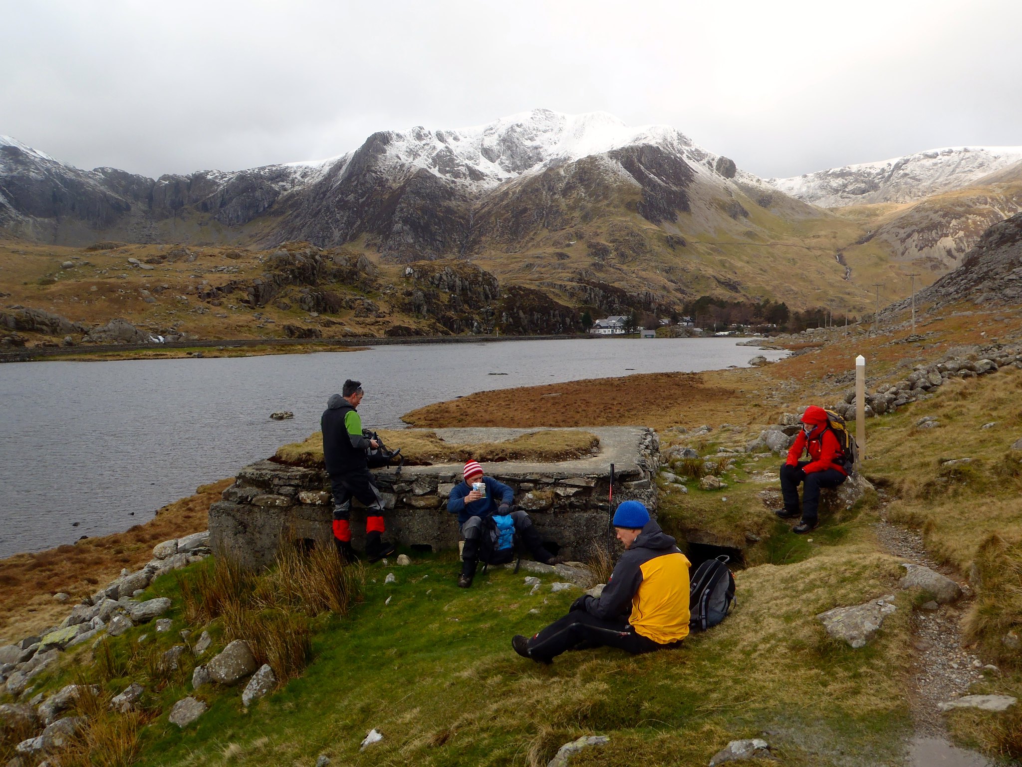
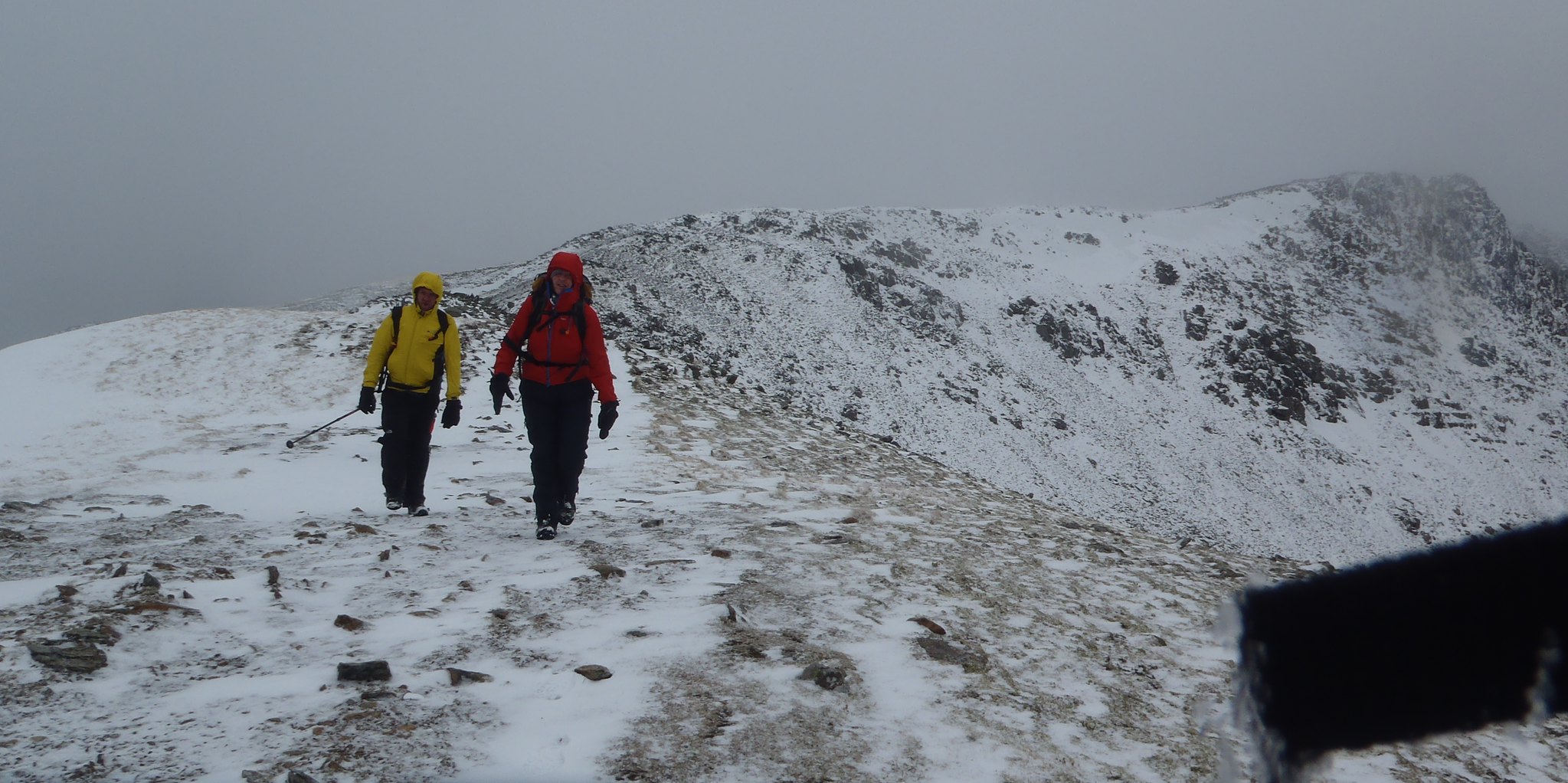
Heading down to Llyn y Cwn was straightforward, if gusty, as was the start to Y Garn. The wind felt to be coming largely from the southwest, obviously passing around the bulk of Glyder Fawr. We decided that we would see how strong the wind was as we ascended and if it was too strong, we would miss the summit and countour around to the west to avoid being blown off the mountain. It turned out to not be too bad: walking the zigzag path downwind was a doddle, while upwind was like a 60ยบ slope! We made it to the top, but decided to avoid the summit cairn and head down the other side rapidly.

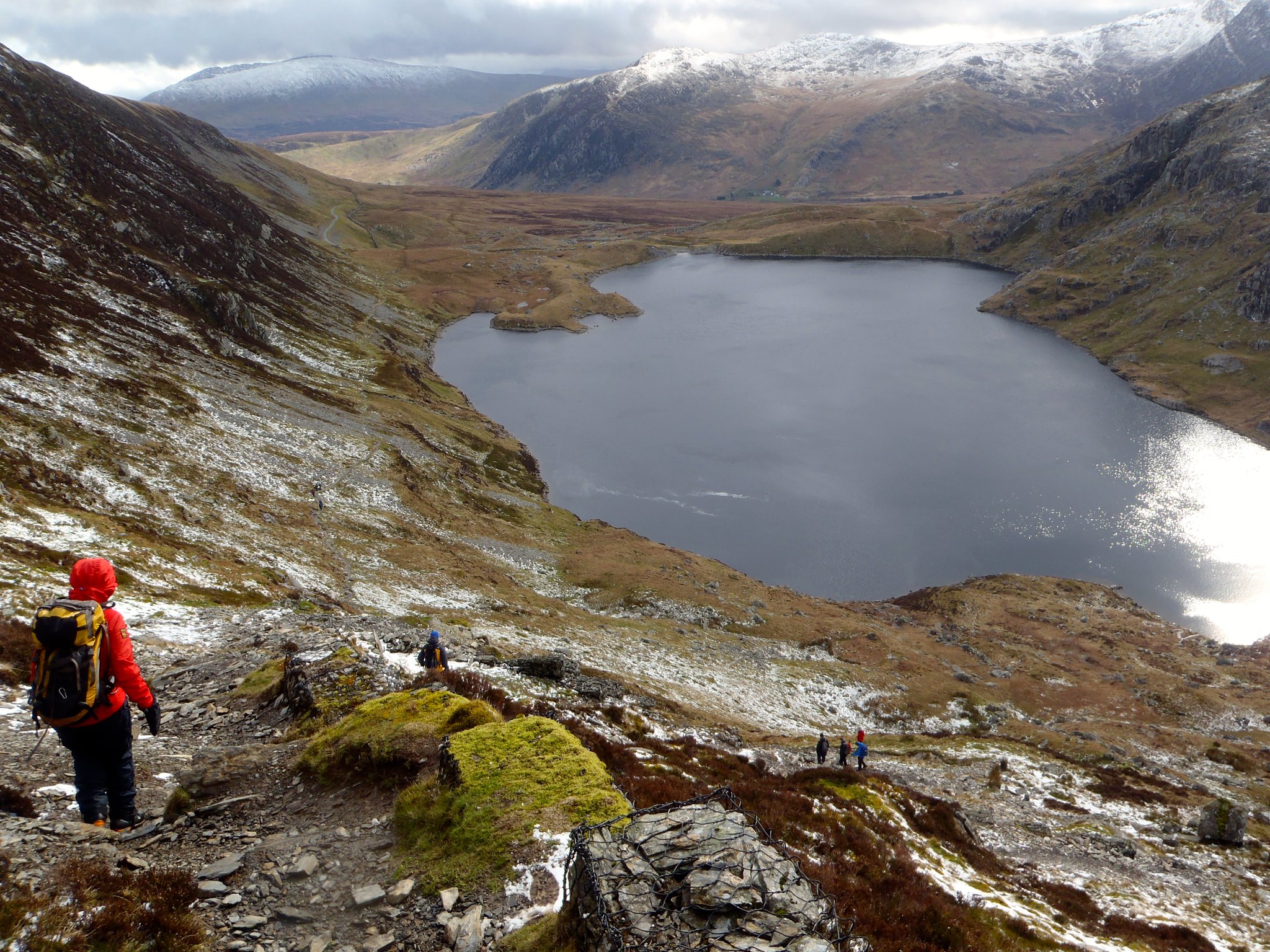
As we descended, the ridge of Elider Fawr was clear. We had to decide whether it was sensible to continue on our planned route. Given the continuing strength of the wind (and the exhausting effect it had so far had on us), we chose not to continue along the east-west path over Elidir Fawr, and instead decided to bail out down Cwm Dododyn to the south. I explained the principle of contouring down rather than descending then re-ascending, so we skirted farther north to pick up the path as far up the Cwm as possible. We followed the path until we passed an abandoned smallholding, then left the path, maintaining our height on the mountain. Following this direction brought us to the top of the Dinorwig Slate Quarries.

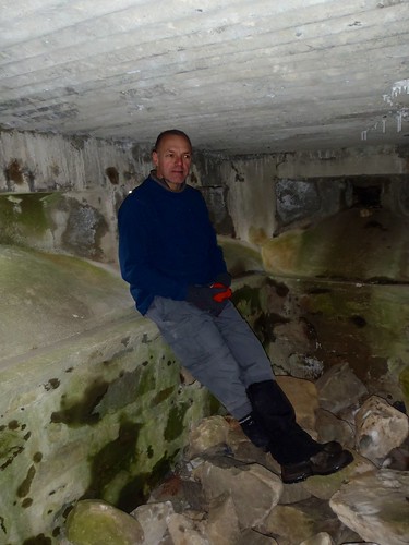
The quarries are always interesting, but I'd never yet visited the higher levels. It was now Dave's turn to lead, and he took me through Shed Mawr, down to the Canteen (graffiti'ed by centuries of quarrymen and visitors) and toward the climbing areas that I knew (Australia, Dali's Hole). We continued down the path past the Anglesey Barracks and on to Pete's Eats for a welcome cream-and-marshallow topped Hot Chocolate. Well earned!

Shed Mawr slate cutting equipment

Inside the canteen: a self-maintaining and human mausoleum to Llanberis's slate industry

Looking over The Lost World to the Twll Mawr gap and Llyn Peris

Anglesey Barracks, where the quarrymen from Anglesey lived during the week

Monday 3 March 2014

Moelwyn Mawr and Allt Mawr, Saturday

On Saturday, I guided walking friend Craig around Moelwyn Mawr and Allt Mawr.

The Met office forecast predicted heavy snow and black clouds after 9am. Amidst these warnings, and aware that Craig is in rehabilitation after a knee operation, I planned a route that would a) avoid steep, avalanche prone slopes, and b) not be too hard on the knees. This meant choosing a route based on widely-spaced contour lines.

In the end, we had a couple of flurries of snow interspersed with broken cloud and spells of glorious sunshine. The weather threatens to be colder overnight, but I still don't think that there'll be significant snowfall in the area. And we picked off Moel Druman, Allt Mawr and Moelwyn Mawr Hewitts without any ado.


View Larger Map